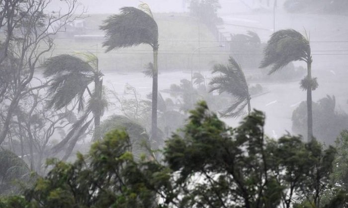
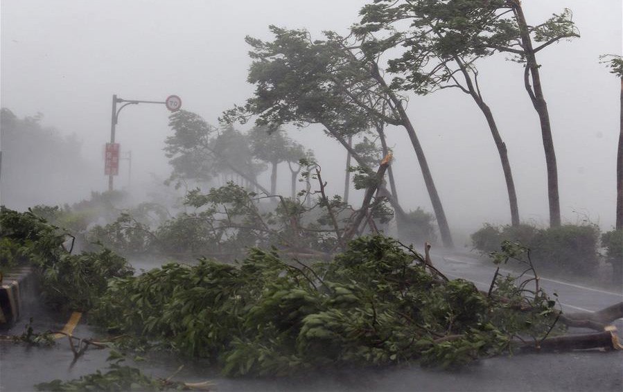
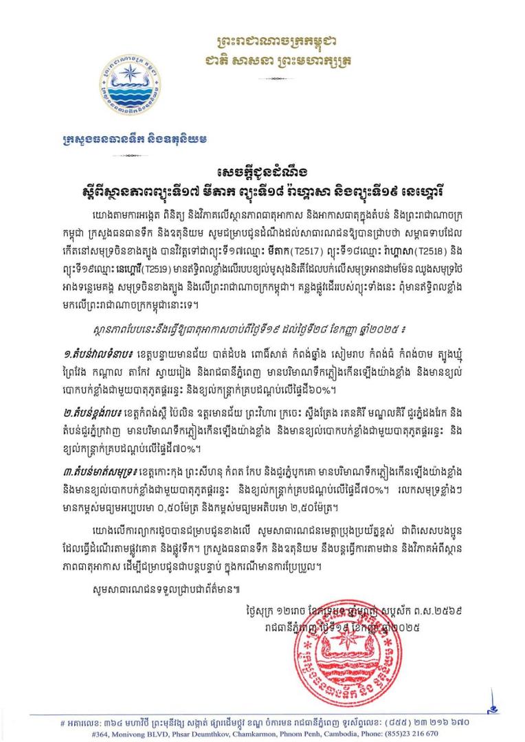
Cambodia continues to be influenced by three successive storms: No.17 Mitag, No.18 Ragasa and No.19 Neoguri. From September 19–28, rain, lightning and gusts are forecast, with 60–70% coverage, in almost all provinces and the capital. However, the Ministry of Water Resources and Meteorology says the storms’ tracks will not bring strong direct effects to Cambodia.
Hong Kong Observatory tropical-cyclone information for September 2025 shows that the three storms formed in the western North Pacific. Cambodia’s Ministry of Water Resources and Meteorology forecasts that these storms will strongly influence the southwest monsoon over the Andaman Sea, Gulf of Thailand, Mekong basin, South China Sea and Cambodia.
In the lowlands—Banteay Meanchey, Battambang, Pursat, Kampong Chhnang, Siem Reap, Kampong Thom, Kampong Cham, Tboung Khmum, Prey Veng, Kandal, Takeo, Svay Rieng and Phnom Penh—the ministry forecasts substantially increased rainfall, strong winds, lightning and gusts covering 60% of the area.
In the highland provinces of Kampong Speu, Pailin, Oddar Meanchey, Preah Vihear, Kratie, Stung Treng, Ratanakiri and Mondulkiri, and the Dangrek and Cardamom mountain ranges, rainfall will increase substantially, with strong winds, lightning and gusts covering 70% of the area.
In the coastal provinces of Koh Kong, Preah Sihanouk, Kampot and Kep, and the Bokor range, rainfall will increase substantially, with strong winds, lightning and gusts covering 70% of the area. Strong sea waves are forecast at 0.50–2.50 metres.
In light of this forecast, the ministry asks the public to exercise great caution, particularly when travelling by land or water. It will continue monitoring and analysing the weather and provide further updates if conditions change.
Preah Sihanouk Provincial Television; by: ង៉ែត ពិសាន្ត